
Quick Links
Contacts
http://Nakuru.go.ke
nakurucounty.governor@gmail.com
@@NakuruCountyGov
0775096861, 0711133005
P O BOX 907, NAKURU
About Nakuru County
General Information
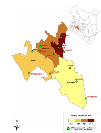
Nakuru County is located in the former Rift Valley Province of Kenya, about 90km from Nairobi, Nakuru is an agriculturally-rich county blessed with various tourist attractions such as craters and lakes.It`s made up of 11 constituencies namely;
- Naivasha Constituency
- Nakuru Town West Constituency
- Nakuru Town East Constituency
- Kuresoi South Constituency
- Kuresoi North Constituency
- Molo Constituency
- Rongai Constituency
- Subukia Constituency
- Njoro Constituency
- Gilgil Constituency
- Bahati Constituency
Nakuru borders seven counties; Laikipia to the north east, Kericho to the west, Narok to the south west, Kajiado to the south, Baringo to the north, Nyandarua to the east and Bomet to the west.
It covers an area of 7496.5 square kilometres.
The name Nakuru means `a dusty place` in the Maasai language - in reference to frequent whirlwinds that engulf the area with clouds of dust.